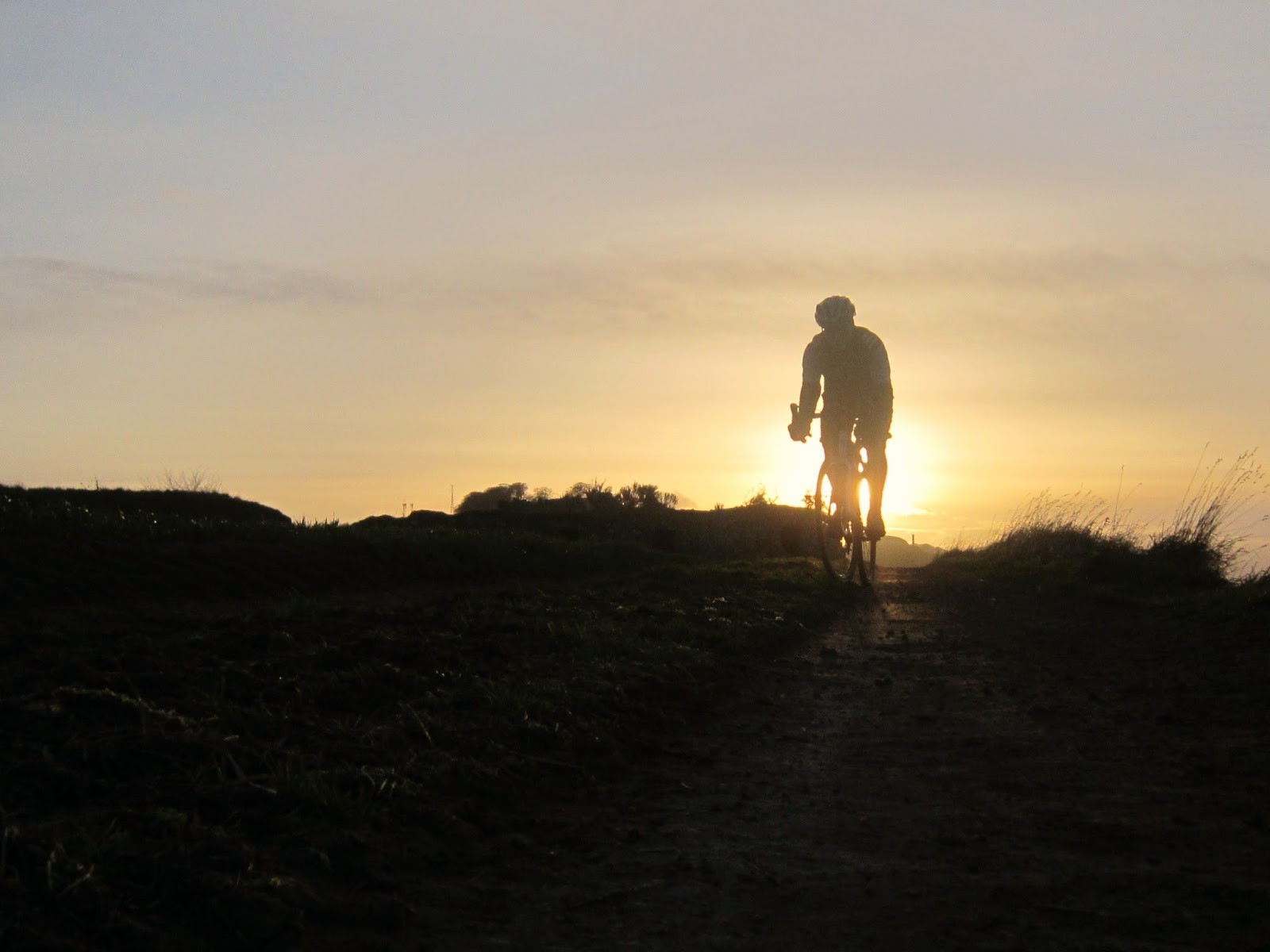
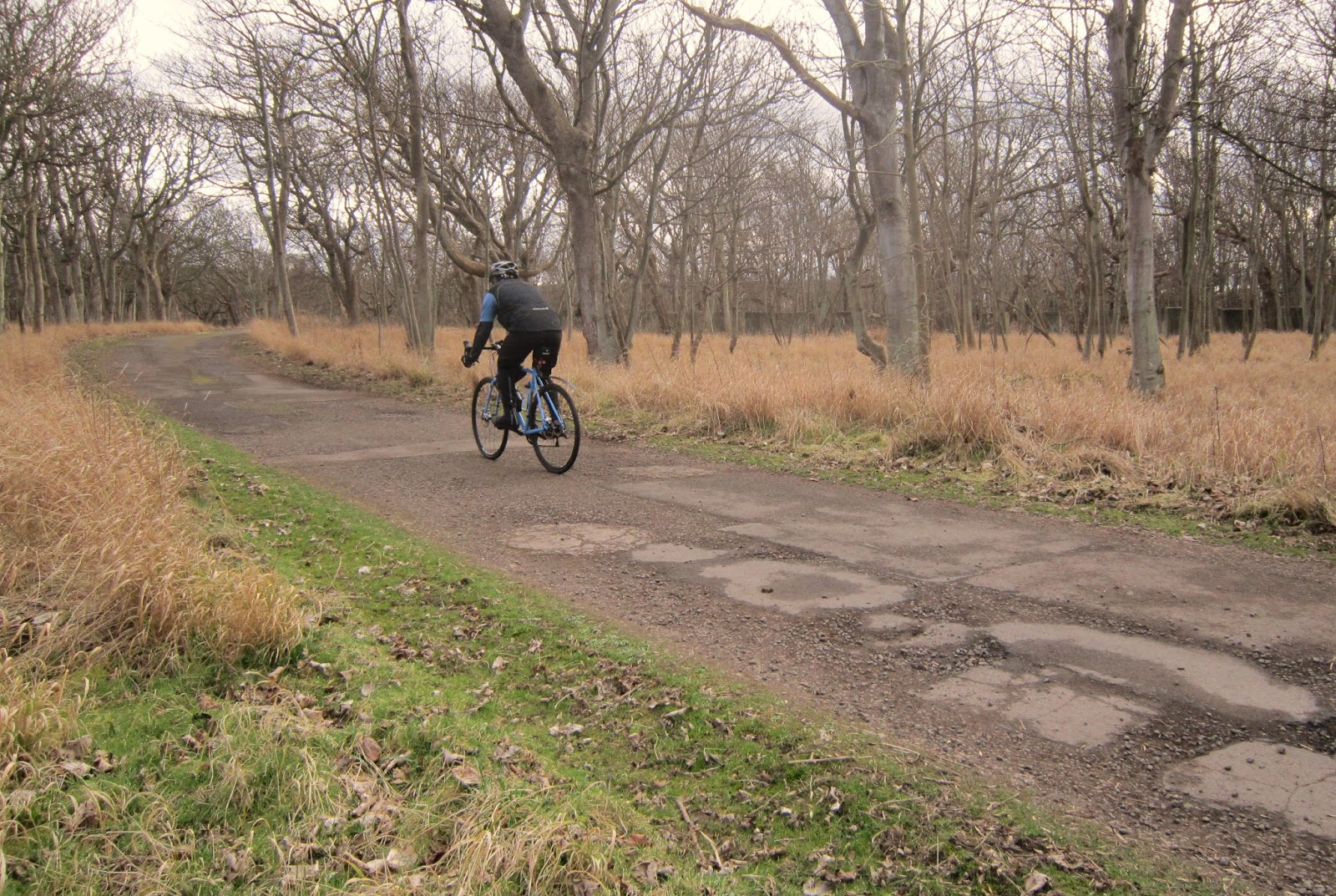
I mentioned before about old roads no longer marked on modern maps that can be traced using old maps and out on route exploring for traces of them.
Heading West out of Gullane on the A198 heading to Aberlady village you pass an old stone roadside mileage marker just before the sharp bend at Galla Hill and its disused quarry (Quarry Corner).
These stones are still marked as MS on today`s Ordnance Survey maps,
This one gives the miles to Edinburgh...

As you approach the bend at Quarry corner you will notice a gated road going straight on through Luffness Golf Course...

This road is now a private access road across the Golf Course to vehicles to access the sewage treatment works, but you can of course walk cycle or horse ride down here (watch out for golfers playing across the road!) and down the hill you will see a grass track continuing straight on South to South West in line with the road where you are standing...

This was once the road from Gullane Village - then called `Goolin` to the Village of Aberlady with a tidal crossing causeway across Aberlady Bay.
You can see it marked here on the John Thomson's Atlas of Scotland, 1832, This map is a great source of old information on the County of Haddingtonshire as East Lothian was then called...

Also note the Race Course marked on the map where now is the present Gullane No 1 Golf Course...

Today the 3rd Hole of No1 Course is named Race Course, Originally there was just one Golf Course at Gullane which started at where the Old Clubhouse Restaurant is and wound up and around the hill,
The Links was Comman Land and the local villager`s had grazing rights and even rights to hang there washing!, many Top Race Horse Owners and Trainers owned Houses and Stables on Gullane hill and they had rights allowing them to run there horses on the links. Eventually it had to be decided who would get priority of use of the common land of Gullane links and it was decided it would be for Golf as it could be enjoyed by all, local and visitors with its massive increase in popularity in Victorian times with the coming of the railway to Gullane bringing people from Edinburgh to the coast,
Imagine if it had been the horses that got priority, and today Gullane Hill could have been a top race course venue like Aintree...
What i don't know is if the present coast road (A198) from Quarry corner to the Nature Reserve Car Park was back then a private estate road of Luffess or a toll road but both are marked on the Map but at sometime the present road was made the main road avoiding the tidal causeway.
Back on the old road and it crosses a grass field between Luffness Golf Course and Aberlady Nature Reserve...

This field is in fact part of the original Luffness Golf Course,
Notice the present Luffness Golf Club is called `Luffness New`,
because it was moved and some of its holes relocated after a legal land case decided that some of the course was in fact on Gullane Golf Clubs Land!, the new club moved to the present Clubhouse over 100 years ago, the original Clubhouse ruins are disappearing in Sea Buck thorn bushes to the south of this field which are hard to get through to photo, here is a print though of the original clubhouse taken around 1870...

Now just a grassy rabbit warren here would have been fairways...

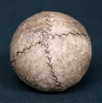
Here many years ago my big brother found a Gutta Percha Golf Ball here dug out a rabbit hole which has been dated from around 1880- 1890...

These were the first wound inner golf balls and painted white, these can fetch 4 figure numbers at Auctions if in good enough condition.
Your unlikely to find a `featherie ` golf ball outdoors intact,these were the first golf balls made of leather stuffed with goose feathers but they are still found in dry attics etc...
These are very sought after and easy fetch 5 figure numbers at auction...
The track continues through what is now Aberlady Nature Reserve...


Heading towards the Bay there is under an old Hawthorn a stone with hand cut edges which i believe could be an old way marker for the route...

Ahead you can see here at low tide the remains of what would have been a raised stone causeway...

The Bay is now filling up with silt but when in use this would have been raised and only impassable for a few hours between high tides...

And here looking North across onto the Reserve...

In 1940 The British Army made use of the solid foundations of the causeway when they prepared coastal defences for what was thought an eminent Invasion from Germany after the evacuation of Dunkirk,
rows of concrete anti tank blocks were constructed along exposed coastlines, here is a photo from 1940 of the blocks across the causeway...

P.O.Ws from Gosford Camp were put to work helping in the construction...

I wonder if the Tommy watching the prisoner was or knew `T Black ` who signed this remaining block further north of the bay on the reserve...


The Blocks here across the Peffer burn and along to Aberlady were removed in the 1960s to help build the reclaimed base for the building of Cockenzie power Station.

Here is a pic from then of a crane lifting out the blocks...

Friend Jason and myself rode across at low tide one summer evening last year, first wheels tracks there i bet since that crane removed the blocks...
The Reserve today is well known because of its raised wooden footbridge over the Peffer Burn Estuary...

popularised by the Late Local Writer and Scottish historian Nigal Tranter who lived nearby in the house overlooking the bridge and the bay,
I grew up listening to talks at Primary School of local history by the writer and later would see and talk to him when i was a Green keeper at Gullane while he was out walking the reserve and dunes of Gullane Links with his note book in hand where he found a lot of his inspiration for his writing...
He would make the bridge over the Peffer Burn and the area famous to the world in his book ` The Bridge to Enchantment`...

Many visitors i have spoke to out here have been inspired to visit here in East Lothian because of his writings, He is also one of a few people who have documented visits to every single Scottish Castle...
a memorial to him is at the Nature Reserve car park...

There have also been other crossings of the Peffer Burn here in the past,
beside the Bridge on its east side is another remains of a causeway to ford the Peffer Burn...

And a bit upstream is the remains of a Victorian bridge built by the Hope Family of Luffness Estate...


I remember it standing as a kid (late 1970s) but it was a dangerous bridge then...
here are pictures of it in the 1950s and local Scouts kayaking the Peffer...


The Peffer Burn is a tidal burn right up to the present main road crossing beside Luffness Mill,
What is also of interest to me is there are 2 Peffer burns in East Lothian,
the other north of Tyninghame Estate and south of scoughall farm at Peffersands,
both are in line of each other on the OS map which would indicate they both have the same source but it is not documented (on line anyway) but it is somewhere North of East Fortune if you follow each Burn inland on the maps,
a contour map and a day out walking could find the source,another `to do` to add to the list...
And here is another lost road across Hedderwick Sands between Tyninghame and Dunbar no longer shown on modern day maps...
Always something new to find or research here on East Lothians coast...